

ISRO-NASA satellite data reveal 60 cm ground shift in Venezuela earthquake
WASHINGTON: (Jul 26) The twin earthquakes that struck north Venezuela last month shifted the earth almost two feet at some places, leading to massive devastation in Caracas and La Guaira, an analysis of data from the NISAR satellite has revealed.
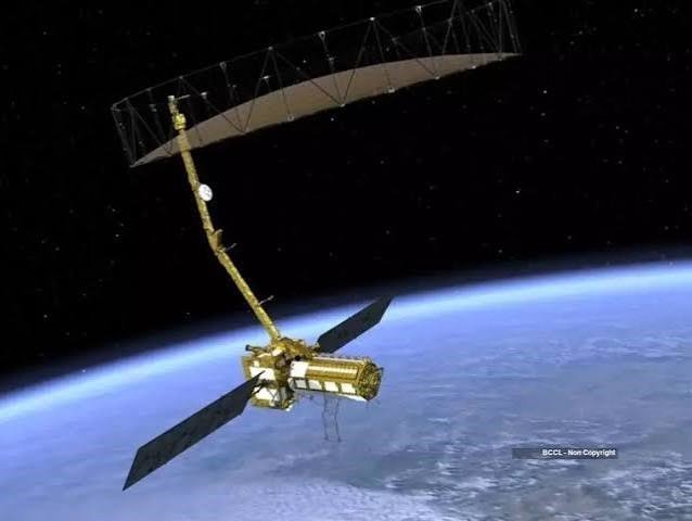
Researchers studied the images of the Earth taken by the NASA-ISRO Synthetic Aperture Radar (NISAR) satellite (before the quake) and on June 25 and 30 to detect the changes in the terrain after the June 24 earthquake.
On June 24, a magnitude 7.2 earthquake struck northern Venezuela, followed by a magnitude 7.5 mainshock 39 seconds later. It killed more than 5000 and injured 16,700 while causing large-scale damage in Caracas and La Guaira. The states of Trujillo, Yaracuy, Carabobo, Aragua and Miranda had also been affected.





 Loading ...